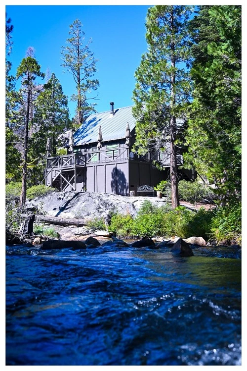
Pyramid Creek è un fiume lungo 18,5 miglia molto popolare a Twin Bridges, negli Stati Uniti. L'acqua scorre dal South Fork del Big Hole River verso il Jefferson River e infine il Missouri River. Il paesaggio lungo il Creek è bellissimo, con diversi punti di accesso per avventure di pesca, rafting e kayak. Troverai scogliere imponenti, canyon remoti, prati tranquilli e ampie vedute della catena montuosa circostante. Puoi fare escursioni lungo le rive del ruscello o esplorare la Pyramid Valley Wildlife Management Area, un'area di 640 acri di foreste e zone umide che ospita una grande varietà di fauna selvatica. Le opportunità di birdwatching abbondano: cerca i cigni trombettisti, le aquile calve, i falchi pescatori e gli aironi blu! Che tu sia un pescatore, un appassionato di birdwatching o semplicemente un osservatore, Pyramid Creek è un luogo meraviglioso da visitare.
🗺 Mappa
🎫 Attrazioni turistiche
🌦 Informazioni meteo
Ottieni informazioni meteo, e molto altro, dall'app. Scaricala gratuitamente!
🚕 Come arrivarci?
Ottieni informazioni sui percorsi (in auto, a piedi, trasporto pubblico, ecc.), e molto altro, dall'app. Scaricala gratuitamente!