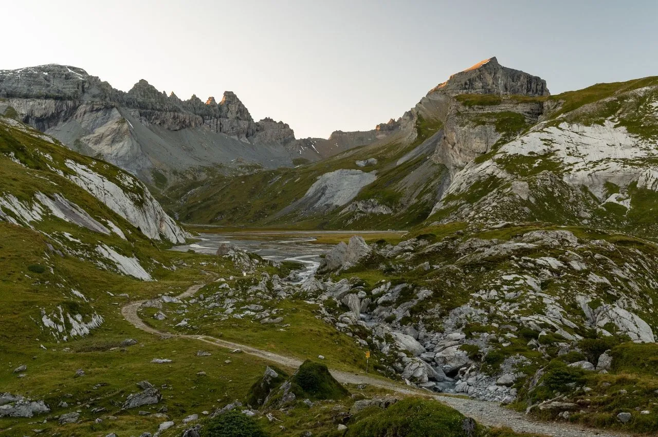
Flims se encuentra a orillas del pintoresco río Flem en Graubünden, el cantón más grande y oriental de Suiza. Desde finales de junio hasta mediados de agosto, ocurre un evento natural espectacular: el deshielo del río provoca una enorme torrente de agua que puede alcanzar hasta 25 metros de altura. Este fenómeno se llama el Spreuerbach ("flut" en romanche). El río Flem pasa por el borde sur de Flims y la Sasslihütte, que ofrece una vista espectacular de la garganta del Rin y del valle del Flem. Es una de las rutas de senderismo y caminata más populares de la región. Desde colinas pintorescas, lagos cristalinos y campos exuberantes, este sendero ofrece vistas incomparables de los majestuosos Alpes suizos. Explora la belleza natural del valle junto con pueblos pintorescos y granjas tradicionales que ofrecen una visión de la vida suiza tradicional. El río Flem ofrece lugares impresionantes para pasar el día, como el Piz Torren que conduce al Naifelsee, el mirador Piz Buin y el impresionante lago Arosa.
🗺 Mapa
🎫 Atracciones turísticas
🌦 Información del clima
Obtén información del clima, y mucho más, desde la app. ¡Descárgala gratis!
🚕 ¿Cómo llegar?
Obtén información de rutas (en coche, a pie, transporte público, etc.), y mucho más, desde la app. ¡Descárgala gratis!