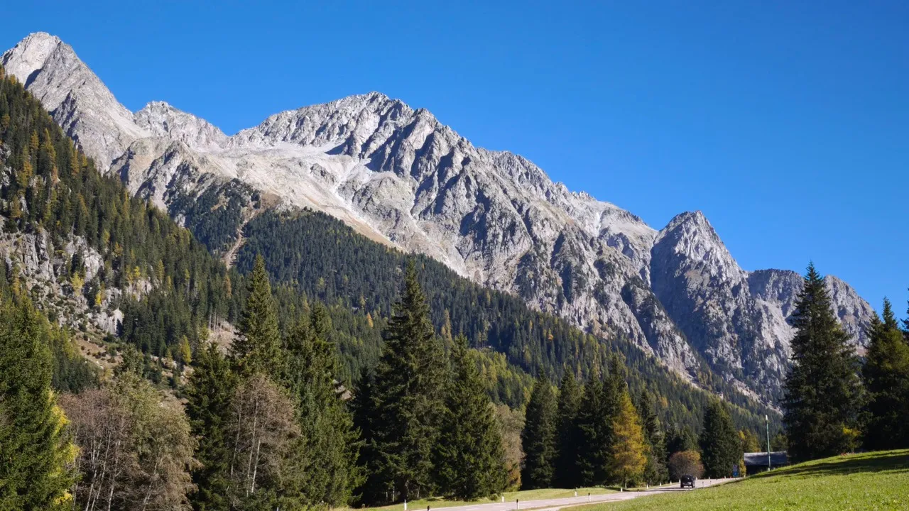
Zona Turistica Anterselva Alta refers to the upper reaches of the Antholz Valley, known in Italian as Anterselva, in South Tyrol’s municipality of Rasun-Anterselva. Near the valley head, Alpine farms and small settlements give way to dense conifer forest, Lake Anterselva, and the steep peaks of the Rieserferner group along the Austrian border. The area reflects South Tyrol’s bilingual Italian and German identity, with many places carrying names in both languages. Its most recognizable scenes pair dark woodland and pale mountain walls with the lake’s green-blue water, while traditional timber buildings and open meadows provide a quieter record of the valley’s farming landscape. The nearby biathlon arena also links Anterselva closely with international winter sport.
🗺 Map
Want to see more? Download the app. It's free!
- Weather informationCheck the forecast, clouds, rain, visibility, temperature, and wind before you go. Download it for free!
- How to get there?Choose how to get there by car, walking, or public transport from your location. Download it for free!
- CollectionsSave this spot in lists for future trips.
- Visited PlacesMark places you have visited and see them together on one map.
- Favourite RegionsGet alerts when new spots are added in your favourite regions.
- Offline mapsDownload maps before a trip for places with weak connection.
- Upload your photosUpload your photos and help other travelers find good photo spots.
- Audio guidesCreate narrated guides to listen to while you visit a place.