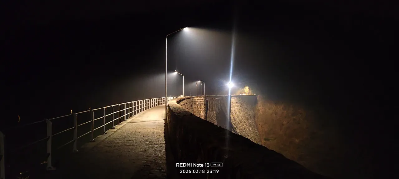
Zapora wodna na Bystrzycy (the Bystrzyca dam at Lubachów) is a small but regionally important river dam that impounds the Bystrzyca to form Jezioro Lubachowskie (Lubachów Reservoir). It functions primarily to regulate river flow, reduce downstream flooding risk and create a stable water body that has become a local landscape and ecological feature. The reservoir’s sheltered shoreline, reedbeds and adjacent mixed forests make it a valued spot for anglers, birdwatchers and people seeking quiet nature walks.
The dam dates to the early 20th century and reflects industrial‑era river management in Lower Silesia: its basic engineering—solid masonry/concrete core with a controlled spillway—was designed for durability rather than monumental architecture, so its interest is practical and environmental rather than formal. Over time the reservoir has developed wetland habitats that support migratory and resident birds and diverse aquatic life, enhancing local biodiversity. Unique visitor notes: the site is known locally for peaceful shoreline paths, seasonal waterfowl concentrations and fishing permits managed by nearby angling associations. Access points and informal picnic spots are concentrated near the village of Lubachów; the dam itself is often photographed for its reflective waters framed by wooded slopes.
The dam dates to the early 20th century and reflects industrial‑era river management in Lower Silesia: its basic engineering—solid masonry/concrete core with a controlled spillway—was designed for durability rather than monumental architecture, so its interest is practical and environmental rather than formal. Over time the reservoir has developed wetland habitats that support migratory and resident birds and diverse aquatic life, enhancing local biodiversity. Unique visitor notes: the site is known locally for peaceful shoreline paths, seasonal waterfowl concentrations and fishing permits managed by nearby angling associations. Access points and informal picnic spots are concentrated near the village of Lubachów; the dam itself is often photographed for its reflective waters framed by wooded slopes.
🗺 Map
Want to see more? Download the app. It's free!
- Weather informationCheck the forecast, clouds, rain, visibility, temperature, and wind before you go. Download it for free!
- How to get there?Choose how to get there by car, walking, or public transport from your location. Download it for free!
- CollectionsSave this spot in lists for future trips.
- Visited PlacesMark places you have visited and see them together on one map.
- Favourite RegionsGet alerts when new spots are added in your favourite regions.
- Offline mapsDownload maps before a trip for places with weak connection.
- Upload your photosUpload your photos and help other travelers find good photo spots.
- Audio guidesCreate narrated guides to listen to while you visit a place.