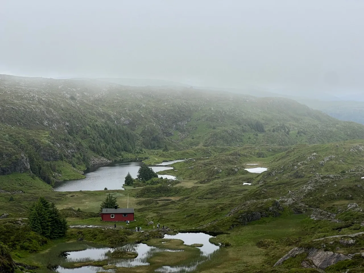
Ulriken rises 643 metres east of central Bergen and is the highest of the seven mountains traditionally associated with the city. Its broad summit overlooks Bergen’s compact centre, harbour, surrounding islands and the fjord-cut landscape of western Norway, while a prominent telecommunications mast gives the ridge its recognizable silhouette. The Ulriken cable car climbs from the Haukeland area, and marked hiking routes also reach the top; the high plateau continues north toward Fløyen on the Vidden route. For photographs, the summit offers strong contrasts between dense urban blocks, dark mountain slopes and reflective waterways, though fast-moving cloud and mist can quickly transform the panorama into a layered, atmospheric scene.
🗺 Map
Want to see more? Download the app. It's free!
- Weather informationCheck the forecast, clouds, rain, visibility, temperature, and wind before you go. Download it for free!
- How to get there?Choose how to get there by car, walking, or public transport from your location. Download it for free!
- CollectionsSave this spot in lists for future trips.
- Visited PlacesMark places you have visited and see them together on one map.
- Favourite RegionsGet alerts when new spots are added in your favourite regions.
- Offline mapsDownload maps before a trip for places with weak connection.
- Upload your photosUpload your photos and help other travelers find good photo spots.
- Audio guidesCreate narrated guides to listen to while you visit a place.