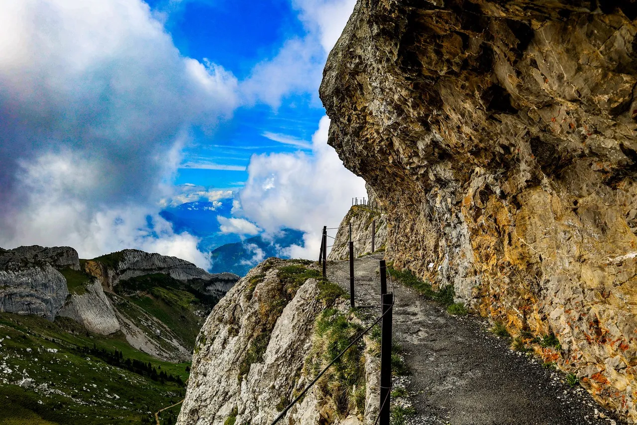
Tomlishorn is the highest peak of Mount Pilatus, the rocky crest that rises above Alpnach and the eastern arm of Lake Lucerne; the summit walk traverses the exposed ridge around Pilatus Kulm and ends at the Tomlishorn outcrop. The site is visually striking for its abrupt rock shoulders set against layered alpine ridgelines and the wide sweep of Lake Lucerne below, so compositions often pair textured foreground boulders and scree with distant peaks and water reflections. Light from low sun or fast-changing mountain weather sculpts deep shadow and highlights on the crags, while passing clouds create dramatic bands across the panorama. The summit is reached from Alpnachstad by the Pilatus Railway or by aerial links from other valleys, and the terrain is open rock rather than forested, so footwear and respect for alpine conditions matter.
TOP
🗺 Map
Want to see more? Download the app. It's free!
- Weather informationCheck the forecast, clouds, rain, visibility, temperature, and wind before you go. Download it for free!
- How to get there?Choose how to get there by car, walking, or public transport from your location. Download it for free!
- CollectionsSave this spot in lists for future trips.
- Visited PlacesMark places you have visited and see them together on one map.
- Favourite RegionsGet alerts when new spots are added in your favourite regions.
- Offline mapsDownload maps before a trip for places with weak connection.
- Upload your photosUpload your photos and help other travelers find good photo spots.
- Audio guidesCreate narrated guides to listen to while you visit a place.