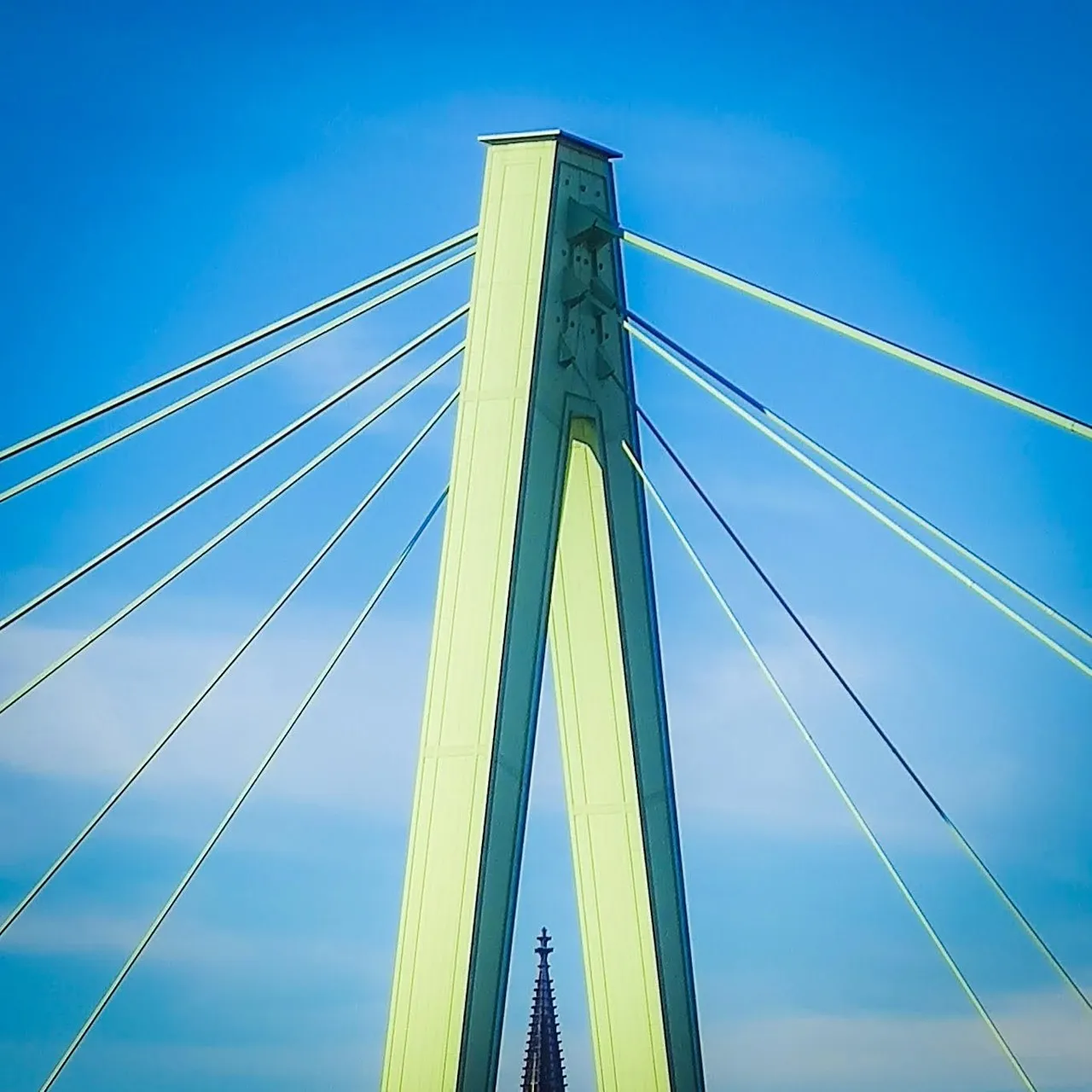
Severinsbrücke is a cable-stayed bridge across the Rhine, linking Cologne’s southern inner city and Severinsviertel with Deutz on the east bank. Opened in 1959, it was the first new Rhine bridge completed in Cologne after the Second World War and became a symbol of the city’s postwar reconstruction. Its single A-shaped pylon and fan of steel cables create a strong, asymmetrical profile, especially when viewed from the Rheinauhafen promenades below. From the pedestrian paths, the river opens toward Cologne Cathedral, Great St Martin and the old-city skyline to the north, while the Kranhäuser and modern harbor district dominate views to the south. Trams, cars, cyclists and pedestrians make the bridge a vivid part of everyday Cologne rather than a purely architectural landmark.
🗺 Map
Want to see more? Download the app. It's free!
- Weather informationCheck the forecast, clouds, rain, visibility, temperature, and wind before you go. Download it for free!
- How to get there?Choose how to get there by car, walking, or public transport from your location. Download it for free!
- CollectionsSave this spot in lists for future trips.
- Visited PlacesMark places you have visited and see them together on one map.
- Favourite RegionsGet alerts when new spots are added in your favourite regions.
- Offline mapsDownload maps before a trip for places with weak connection.
- Upload your photosUpload your photos and help other travelers find good photo spots.
- Audio guidesCreate narrated guides to listen to while you visit a place.