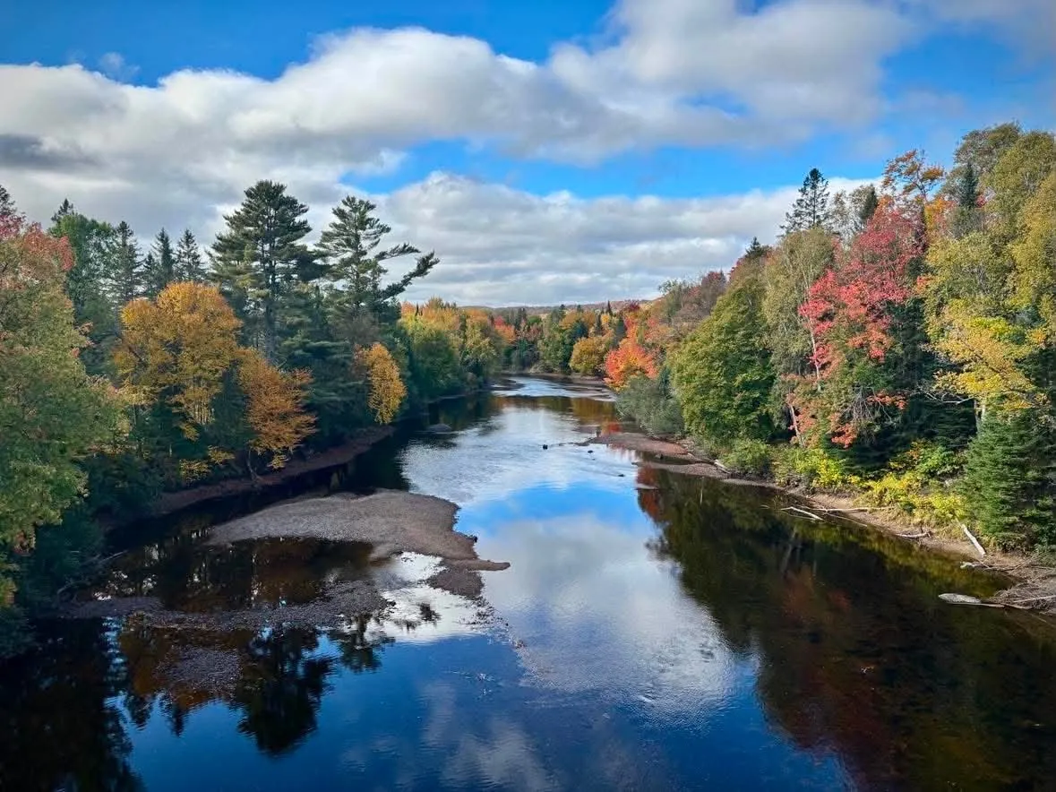
The Rivière du Diable flows through Quebec’s Laurentian Mountains, crossing Parc national du Mont-Tremblant and the Mont-Tremblant area before joining the Rivière Rouge. The park’s Diable sector takes its name from this river, whose course alternates between rocky rapids and quieter, forest-lined stretches. Within the park, the Chute du Diable provides a distinctive scene of white water tumbling over rugged rock, enclosed by trees. Calmer reaches offer a contrasting view, with wooded banks reflected on the surface and bends revealing layers of forested hills. In autumn, the Laurentian forest’s reds and golds bring strong color to both the riverbanks and their reflections.
🗺 Map
Want to see more? Download the app. It's free!
- Weather informationCheck the forecast, clouds, rain, visibility, temperature, and wind before you go. Download it for free!
- How to get there?Choose how to get there by car, walking, or public transport from your location. Download it for free!
- CollectionsSave this spot in lists for future trips.
- Visited PlacesMark places you have visited and see them together on one map.
- Favourite RegionsGet alerts when new spots are added in your favourite regions.
- Offline mapsDownload maps before a trip for places with weak connection.
- Upload your photosUpload your photos and help other travelers find good photo spots.
- Audio guidesCreate narrated guides to listen to while you visit a place.