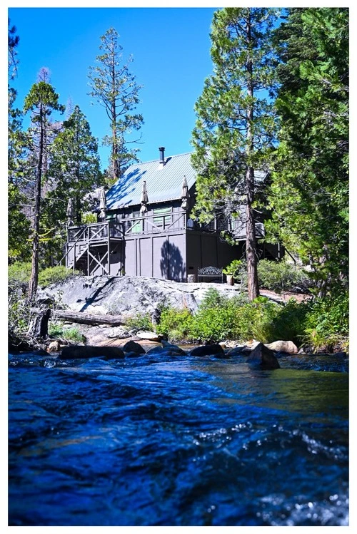
Pyramid Creek is a popular 18.5-mile long river in Twin Bridges, United States. The water flows from the South Fork of the Big Hole River, towards the Jefferson River and eventually the Missouri River. The scenery along the Creek is beautiful, with several access points for fishing, rafting, and kayaking adventures. You will find towering cliffs, remote canyons, peaceful meadows, and expansive views of the surrounding mountain range. You can hike along the banks of the creek or explore the Pyramid Valley Wildlife Management Area, a 640-acre expanse of forests and wetlands that supports a great variety of wildlife. Birding opportunities abound – look out for the trumpeter swans, bald eagles, ospreys, and blue herons! Whether you are a fisher, birdwatcher, or just an observer, Pyramid Creek is a wonderful place to visit.
🗺 Map
🎫 Tourist attractions
🌦 Weather information
Get weather information, and much more, from the app. Download it for free!
🚕 How to get there?
Get routes information (by car, walking, public transport, etc), and much more, from the app. Download it for free!