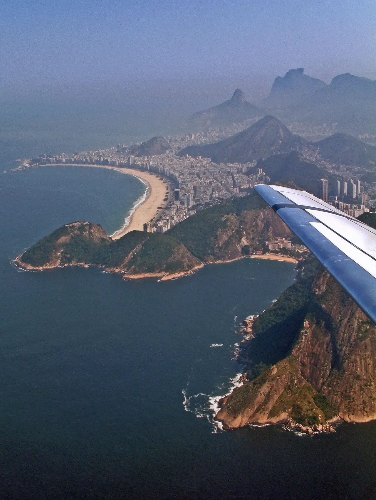
Praia de Copacabana curves for about four kilometres along Rio de Janeiro’s South Zone, between Leme and Copacabana Fort, with Avenida Atlântica tracing the waterfront. The beach is both a major public gathering place and an everyday arena for swimming, football, volleyball, vendors and kiosk life. Its most recognizable foreground is the black-and-white wave mosaic of the promenade, whose Portuguese paving pattern was expanded into a bold landscape design by Roberto Burle Marx. Wide views take in the arc of pale sand, dense ranks of high-rises and the headlands framing the bay, while Sugarloaf Mountain rises beyond Leme. Copacabana is especially associated with Rio’s New Year celebrations, when vast white-clad crowds gather along the shore for fireworks over the Atlantic.
🗺 Map
Want to see more? Download the app. It's free!
- Weather informationCheck the forecast, clouds, rain, visibility, temperature, and wind before you go. Download it for free!
- How to get there?Choose how to get there by car, walking, or public transport from your location. Download it for free!
- CollectionsSave this spot in lists for future trips.
- Visited PlacesMark places you have visited and see them together on one map.
- Favourite RegionsGet alerts when new spots are added in your favourite regions.
- Offline mapsDownload maps before a trip for places with weak connection.
- Upload your photosUpload your photos and help other travelers find good photo spots.
- Audio guidesCreate narrated guides to listen to while you visit a place.