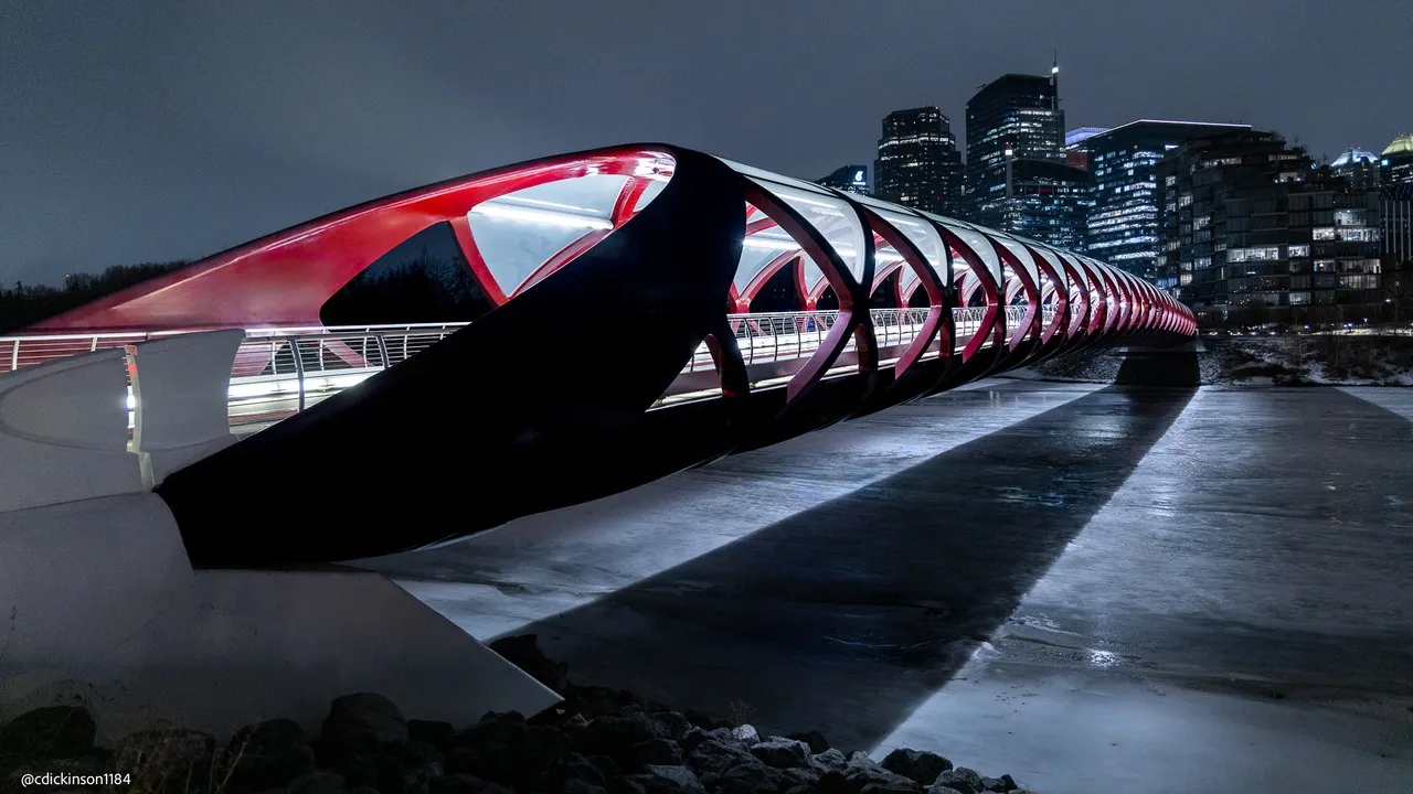
The Peace Bridge is a pedestrian and cycling bridge crossing the Bow River in downtown Calgary, Canada. It links the north-central neighborhoods of Eau Claire and downtown, and provides a stunning view of the city. Its distinctive sail-like shape makes it an iconic feature of the city, and it is particularly beautiful during sunset. The bridge is 645 metres long and 5 metres wide, and accommodates thousands of people and cyclists every day. Pedestrian access to the bridge is via a ramp at the south end of RiverWalk in the Eau Claire district. The north end of the bridge connects to 4th Street at the St. Patrick's Island causeway. A public art display lines the sides of the bridge, providing an extra element of interest. So whether you’re a tourist or local, it’s worth checking out this beautiful architectural gem!
TOP
🗺 Map
Want to see more? Download the app. It's free!
- Weather informationCheck the forecast, clouds, rain, visibility, temperature, and wind before you go. Download it for free!
- How to get there?Choose how to get there by car, walking, or public transport from your location. Download it for free!
- CollectionsSave this spot in lists for future trips.
- Visited PlacesMark places you have visited and see them together on one map.
- Favourite RegionsGet alerts when new spots are added in your favourite regions.
- Offline mapsDownload maps before a trip for places with weak connection.
- Upload your photosUpload your photos and help other travelers find good photo spots.
- Audio guidesCreate narrated guides to listen to while you visit a place.