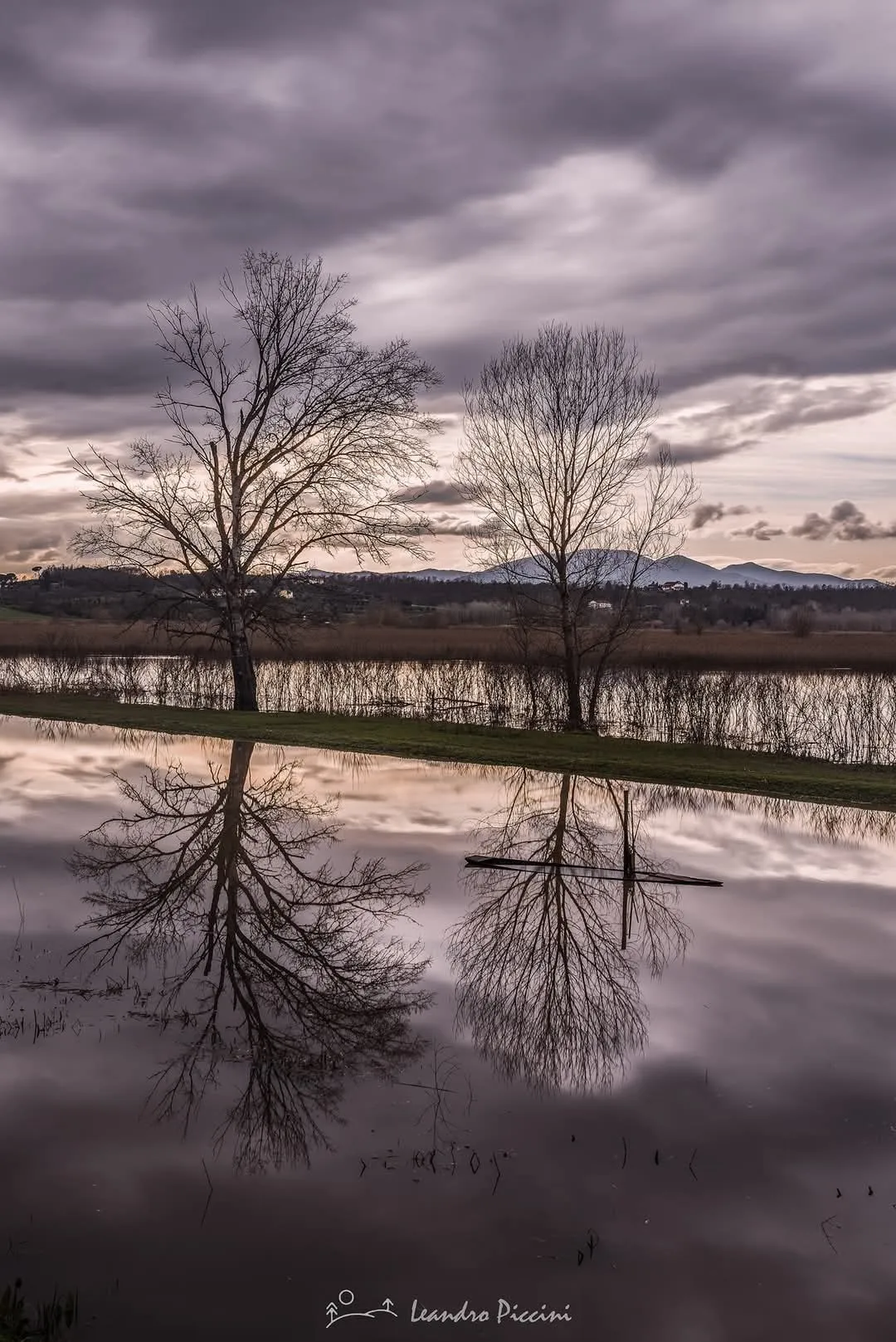
Padule di Fucecchio is the largest inland wetland in Italy, an extensive marshland in the lower Arno valley between the municipalities around Fucecchio in Tuscany. Important for biodiversity, it functions as a crucial stopover and wintering area for migratory waterfowl and hosts reedbeds, flooded meadows and a mosaic of shallow channels that support bitterns, herons, marsh harriers, ducks and amphibians. Its ecological value underpins regional conservation efforts and scientific monitoring.
Historically the marsh was shaped by centuries of human intervention — medieval drainage works, later reclamation attempts and hydraulic management under Tuscan ruling houses — which created the patchwork of channels and embankments visible today; that history explains the mix of natural and semi-natural habitats. On-site features of interest include boardwalks, birdwatching hides and the network of narrow canals used for managed boat and canoe excursions. The area is a designated nature reserve and part of European protection networks; some sectors have seasonal access restrictions during nesting periods and guided tours and permit-based boat trips organized by local associations and the reserve authority offer the best chances to observe wildlife without disturbance. A local curiosity: traditional seasonal fishing techniques and reed harvesting persist in limited form and are interpreted during occasional guided events.
Historically the marsh was shaped by centuries of human intervention — medieval drainage works, later reclamation attempts and hydraulic management under Tuscan ruling houses — which created the patchwork of channels and embankments visible today; that history explains the mix of natural and semi-natural habitats. On-site features of interest include boardwalks, birdwatching hides and the network of narrow canals used for managed boat and canoe excursions. The area is a designated nature reserve and part of European protection networks; some sectors have seasonal access restrictions during nesting periods and guided tours and permit-based boat trips organized by local associations and the reserve authority offer the best chances to observe wildlife without disturbance. A local curiosity: traditional seasonal fishing techniques and reed harvesting persist in limited form and are interpreted during occasional guided events.
🗺 Map
Want to see more? Download the app. It's free!
- Weather informationCheck the forecast, clouds, rain, visibility, temperature, and wind before you go. Download it for free!
- How to get there?Choose how to get there by car, walking, or public transport from your location. Download it for free!
- CollectionsSave this spot in lists for future trips.
- Visited PlacesMark places you have visited and see them together on one map.
- Favourite RegionsGet alerts when new spots are added in your favourite regions.
- Offline mapsDownload maps before a trip for places with weak connection.
- Upload your photosUpload your photos and help other travelers find good photo spots.
- Audio guidesCreate narrated guides to listen to while you visit a place.