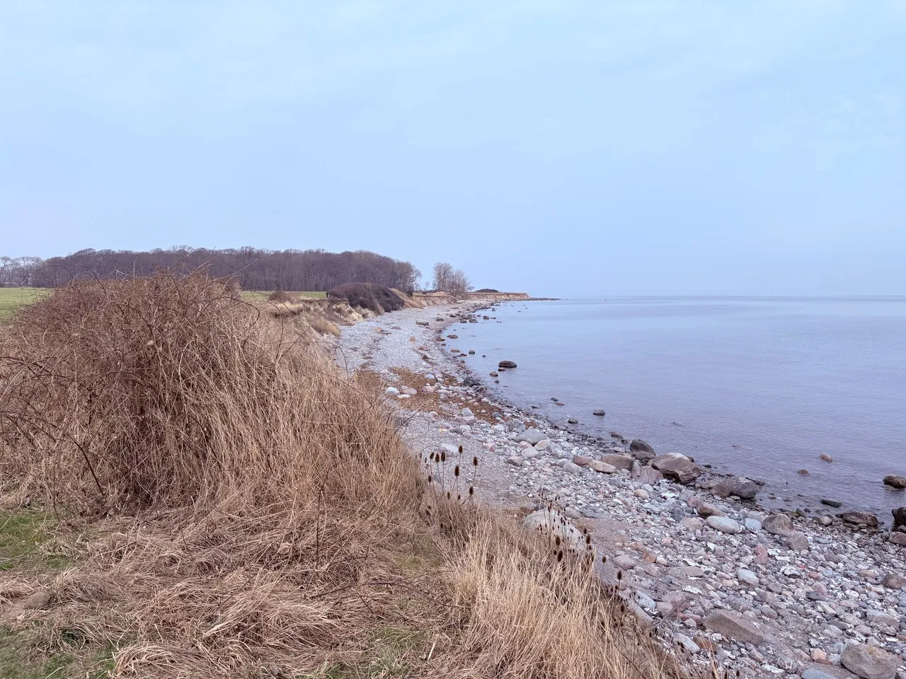
The Östlichster Punkt Schleswig-Holsteins is the geographic easternmost tip of the state, located on the Baltic island of Fehmarn. It’s important as a clear territorial extremity and a quiet coastal landmark where land, sea and sky meet — a place visited for its unobstructed horizons, birdlife and the feel of standing at a state boundary. The point is marked on the shore by a modest boundary marker and informal viewing spots rather than grand monuments, and it sits amid low cliffs, sandy coves and coastal heath typical of Fehmarn’s shoreline.
Historically, Fehmarn’s coasts have been waypoints for Baltic navigation and local fishing communities; the island’s strategic position between Germany and Denmark shaped ferry routes and maritime culture still visible around the point. Architecturally there are no large constructions at the exact point, but nearby coastal features include traditional brick lighthouses and fisher cottages that reflect the island’s maritime heritage. Unique local notes: the spot is favored for dawn and dusk photography, seasonal seabird and seal sightings, and views across the Fehmarn Belt — where the ongoing German–Danish tunnel project and active ferry lanes give the horizon extra contemporary interest. A coastal path connects the point to nearby villages, making it an easy stop on a contemplative shoreline walk.
Historically, Fehmarn’s coasts have been waypoints for Baltic navigation and local fishing communities; the island’s strategic position between Germany and Denmark shaped ferry routes and maritime culture still visible around the point. Architecturally there are no large constructions at the exact point, but nearby coastal features include traditional brick lighthouses and fisher cottages that reflect the island’s maritime heritage. Unique local notes: the spot is favored for dawn and dusk photography, seasonal seabird and seal sightings, and views across the Fehmarn Belt — where the ongoing German–Danish tunnel project and active ferry lanes give the horizon extra contemporary interest. A coastal path connects the point to nearby villages, making it an easy stop on a contemplative shoreline walk.
🗺 Map
Want to see more? Download the app. It's free!
- Weather informationCheck the forecast, clouds, rain, visibility, temperature, and wind before you go. Download it for free!
- How to get there?Choose how to get there by car, walking, or public transport from your location. Download it for free!
- CollectionsSave this spot in lists for future trips.
- Visited PlacesMark places you have visited and see them together on one map.
- Favourite RegionsGet alerts when new spots are added in your favourite regions.
- Offline mapsDownload maps before a trip for places with weak connection.
- Upload your photosUpload your photos and help other travelers find good photo spots.
- Audio guidesCreate narrated guides to listen to while you visit a place.