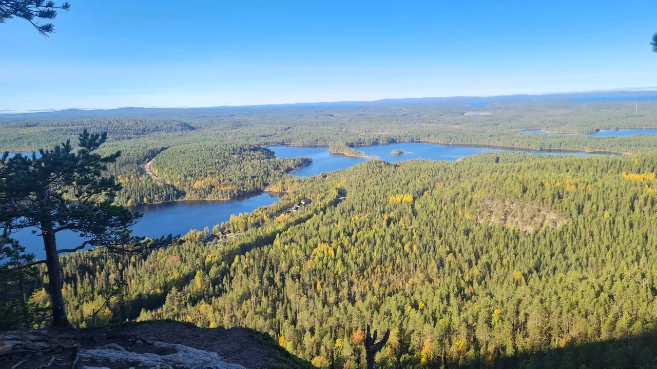
Konttainen Scenic Spot and Day Trail, located in Kuusamo, Finland, offers a captivating glimpse into the natural beauty of the Finnish Lapland. This area is renowned for its breathtaking landscapes, making it a must-visit for nature enthusiasts and hikers. The trail leads to the summit of Konttainen Hill, which stands at approximately 407 meters above sea level, providing panoramic views of the surrounding wilderness and the distant Oulanka National Park.
The trail itself is relatively short, about 2.5 kilometers round trip, but it is steep and can be challenging in parts, making it suitable for those looking for a moderate hike. As you ascend, the trail winds through dense forests of spruce and pine, typical of the region's boreal forest ecosystem. In the autumn, the area is particularly stunning, as the foliage turns vibrant shades of red and gold. Konttainen is a part of the larger Karhunkierros Trail, one of Finland's most famous hiking routes. This spot is also popular for bird watching, with species like the Siberian Jay and the Black Woodpecker often spotted. In winter, the trail transforms into a serene snow-covered path, offering opportunities for snowshoeing. The area is accessible year-round, but visitors should be prepared for changing weather conditions, especially in the colder months.
The trail itself is relatively short, about 2.5 kilometers round trip, but it is steep and can be challenging in parts, making it suitable for those looking for a moderate hike. As you ascend, the trail winds through dense forests of spruce and pine, typical of the region's boreal forest ecosystem. In the autumn, the area is particularly stunning, as the foliage turns vibrant shades of red and gold. Konttainen is a part of the larger Karhunkierros Trail, one of Finland's most famous hiking routes. This spot is also popular for bird watching, with species like the Siberian Jay and the Black Woodpecker often spotted. In winter, the trail transforms into a serene snow-covered path, offering opportunities for snowshoeing. The area is accessible year-round, but visitors should be prepared for changing weather conditions, especially in the colder months.
🗺 Map
Want to see more? Download the app. It's free!
- Weather informationCheck the forecast, clouds, rain, visibility, temperature, and wind before you go. Download it for free!
- How to get there?Choose how to get there by car, walking, or public transport from your location. Download it for free!
- CollectionsSave this spot in lists for future trips.
- Visited PlacesMark places you have visited and see them together on one map.
- Favourite RegionsGet alerts when new spots are added in your favourite regions.
- Offline mapsDownload maps before a trip for places with weak connection.
- Upload your photosUpload your photos and help other travelers find good photo spots.
- Audio guidesCreate narrated guides to listen to while you visit a place.