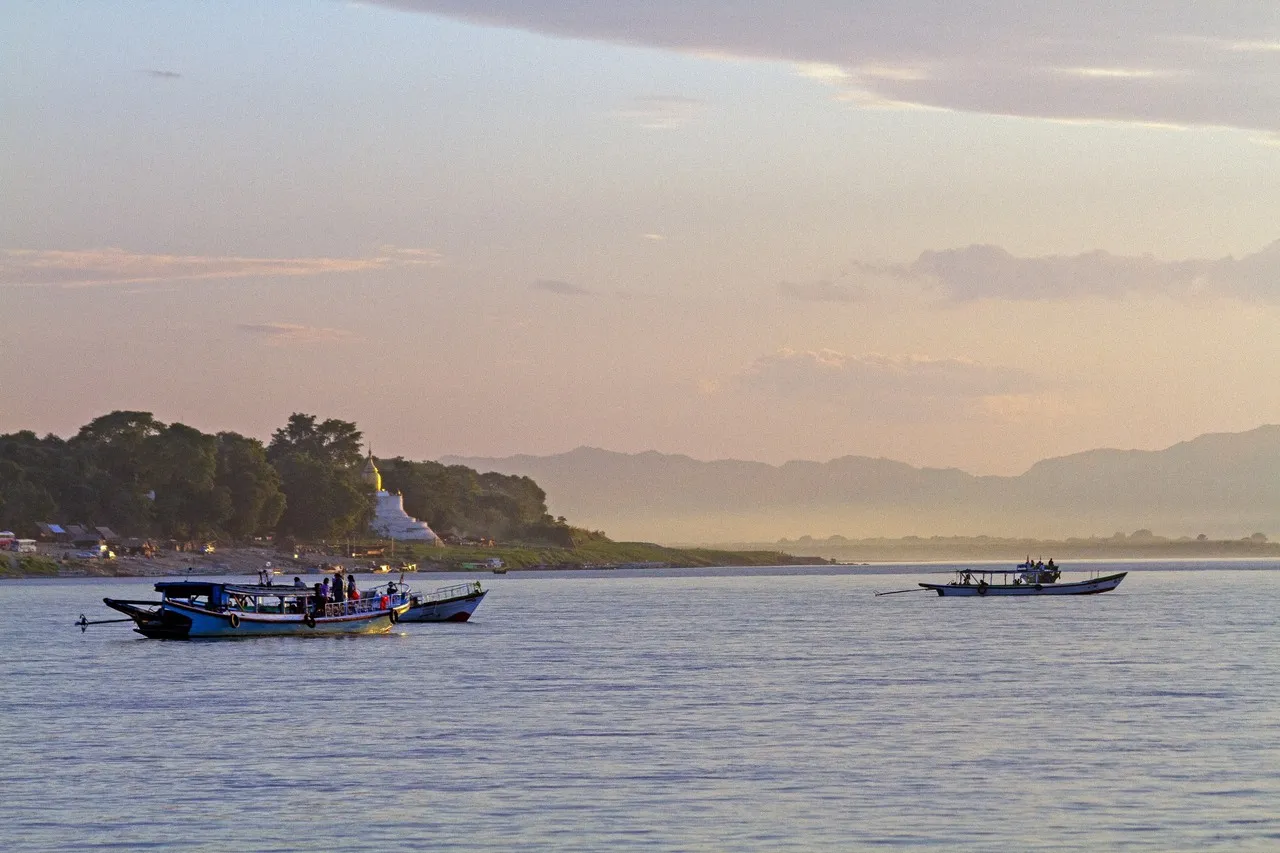
The Irrawaddy River, officially the Ayeyarwady, forms the western edge of Old Bagan’s temple plain and has long served as one of Myanmar’s principal transport and trade routes. Its broad channel helped connect the former Bagan capital with settlements across central Myanmar, while its floodplain supported agriculture. From the riverbank near Bupaya, fishing boats, ferries, sandbars, and distant hills create a layered scene, often framed by gilded stupas and temple silhouettes. Water levels change markedly with the seasons: exposed sandy banks define the drier months, while the monsoon brings a wider, fuller river. Evening light is especially distinctive here, with the sun descending across the water west of Bagan.
🗺 Map
Want to see more? Download the app. It's free!
- Weather informationCheck the forecast, clouds, rain, visibility, temperature, and wind before you go. Download it for free!
- How to get there?Choose how to get there by car, walking, or public transport from your location. Download it for free!
- CollectionsSave this spot in lists for future trips.
- Visited PlacesMark places you have visited and see them together on one map.
- Favourite RegionsGet alerts when new spots are added in your favourite regions.
- Offline mapsDownload maps before a trip for places with weak connection.
- Upload your photosUpload your photos and help other travelers find good photo spots.
- Audio guidesCreate narrated guides to listen to while you visit a place.