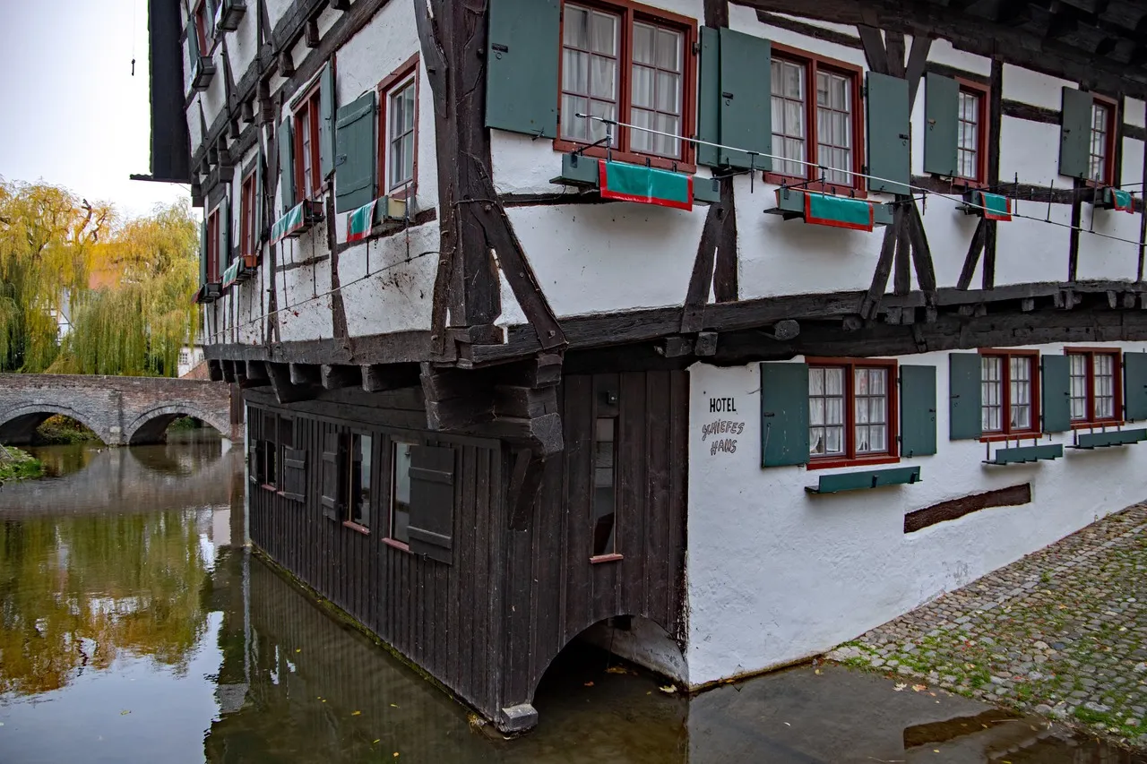
The Große Blau is a named branch of the Blau river system that runs through Ulm’s western floodplain toward the Danube, part of the city’s network of small rivers and canals. Its interest is mainly geographic and visual: low-lying meadows, reed fringes and occasional weirs create a series of gentle pools and slow-moving channels that frame reflections of sky and nearby bridges. Along its course industrial buildings and older mills sit beside open fields, offering a contrast of textures and scales — rusted metal, brick, smooth water and grassy banks. Photographically, low light and morning mist emphasize layers and reflections, while footbridges and embankments provide linear viewpoints and symmetrical compositions; the banks are accessible from local paths familiar to residents.
🗺 Map
Want to see more? Download the app. It's free!
- Weather informationCheck the forecast, clouds, rain, visibility, temperature, and wind before you go. Download it for free!
- How to get there?Choose how to get there by car, walking, or public transport from your location. Download it for free!
- CollectionsSave this spot in lists for future trips.
- Visited PlacesMark places you have visited and see them together on one map.
- Favourite RegionsGet alerts when new spots are added in your favourite regions.
- Offline mapsDownload maps before a trip for places with weak connection.
- Upload your photosUpload your photos and help other travelers find good photo spots.
- Audio guidesCreate narrated guides to listen to while you visit a place.