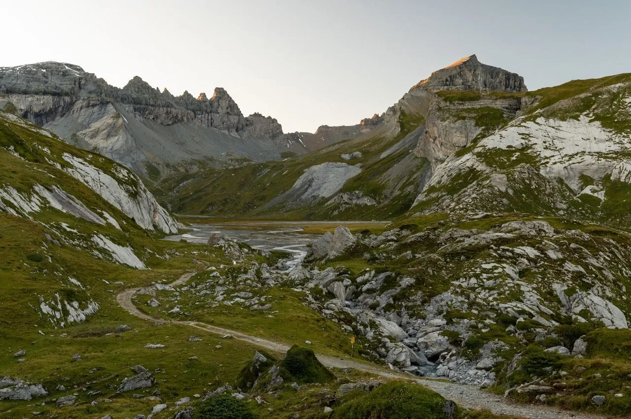
Flims lies on the banks of the picturesque Flem River in Graubünden, Switzerland's largest and easternmost canton. From the end of June to the middle of August, a spectacular natural event occurs: the river's snowmelt causes a huge water torrent that can reach up to 25 meters in height. This phenomenon is called the Spreuerbach (“flut” in Romand). Flem River passes through the southern edge of Flims and the Sasslihütte, which has a spectacular view of the Rhine gorge and the Flem valley. It is one of the most popular hiking and walking routes in the region. From picturesque hills, crystal-clear lakes, and lush fields, this trail offers unbeatable views of the majestic Swiss Alps. Explore the valley's natural beauty along with picturesque villages and traditional farms which offer a glimpse into traditional Swiss life. Flem river offers breathtaking places to spend a day, like the Piz Torren leading to the Naifelsee, the Piz Buin viewpoint, and the breathtaking Arosa lake.
🗺 Map
Want to see more? Download the app. It's free!
- Weather informationCheck the forecast, clouds, rain, visibility, temperature, and wind before you go. Download it for free!
- How to get there?Choose how to get there by car, walking, or public transport from your location. Download it for free!
- CollectionsSave this spot in lists for future trips.
- Visited PlacesMark places you have visited and see them together on one map.
- Favourite RegionsGet alerts when new spots are added in your favourite regions.
- Offline mapsDownload maps before a trip for places with weak connection.
- Upload your photosUpload your photos and help other travelers find good photo spots.
- Audio guidesCreate narrated guides to listen to while you visit a place.