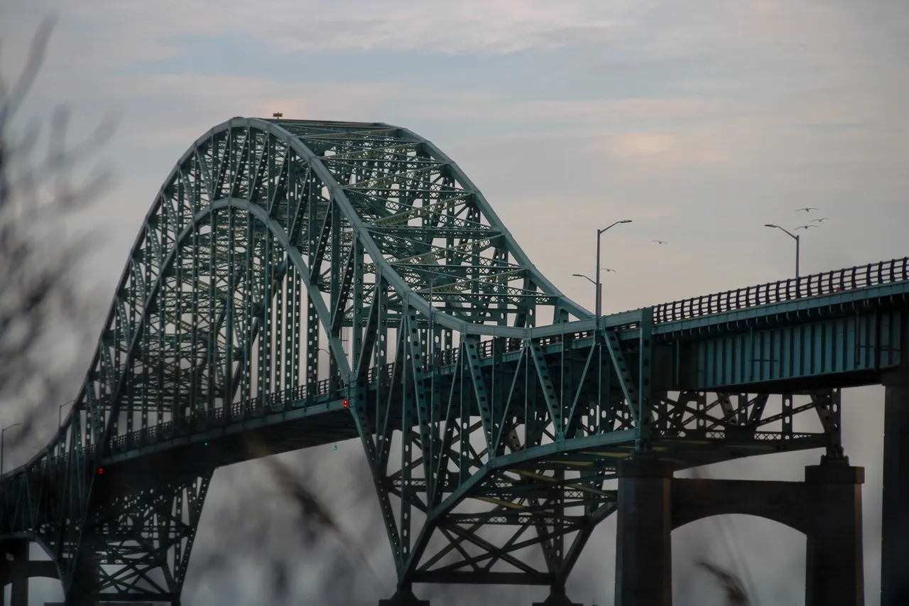
The Fire Island Inlet Bridge carries the Robert Moses Causeway across the wide tidal channel separating Long Island from Fire Island, linking the mainland community near Gilgo–Oak Beach–Captree to Robert Moses State Park and the barrier island. It is important as the primary vehicular access point to the southern shore’s beaches, popular fishing grounds, and the Fire Island barrier system, concentrating seasonal recreational traffic and serving as a gateway for day-trippers and beachgoers.
Built during the mid-20th-century expansion of Robert Moses’s park network, the bridge reflects that era’s push to open coastal recreation to motorists. Architecturally it is a long-span steel structure with a raised profile to allow marine traffic beneath; its length and elevation are functional responses to tidal inlet navigation and dynamic coastal conditions rather than ornate design. From the bridge you get sweeping views of inlet currents, sandbars, and the Atlantic horizon—features that attract photographers and birdwatchers during migration. Uniquely, the crossing functions as the principal motor route to Robert Moses State Park and several barrier-island recreational areas; parking and park access rules at the parks beyond the bridge change seasonally, and the inlet’s strong currents make nearby surf and surf-fishing notable but hazardous local attractions.
Built during the mid-20th-century expansion of Robert Moses’s park network, the bridge reflects that era’s push to open coastal recreation to motorists. Architecturally it is a long-span steel structure with a raised profile to allow marine traffic beneath; its length and elevation are functional responses to tidal inlet navigation and dynamic coastal conditions rather than ornate design. From the bridge you get sweeping views of inlet currents, sandbars, and the Atlantic horizon—features that attract photographers and birdwatchers during migration. Uniquely, the crossing functions as the principal motor route to Robert Moses State Park and several barrier-island recreational areas; parking and park access rules at the parks beyond the bridge change seasonally, and the inlet’s strong currents make nearby surf and surf-fishing notable but hazardous local attractions.
🗺 Map
Want to see more? Download the app. It's free!
- Weather informationCheck the forecast, clouds, rain, visibility, temperature, and wind before you go. Download it for free!
- How to get there?Choose how to get there by car, walking, or public transport from your location. Download it for free!
- CollectionsSave this spot in lists for future trips.
- Visited PlacesMark places you have visited and see them together on one map.
- Favourite RegionsGet alerts when new spots are added in your favourite regions.
- Offline mapsDownload maps before a trip for places with weak connection.
- Upload your photosUpload your photos and help other travelers find good photo spots.
- Audio guidesCreate narrated guides to listen to while you visit a place.