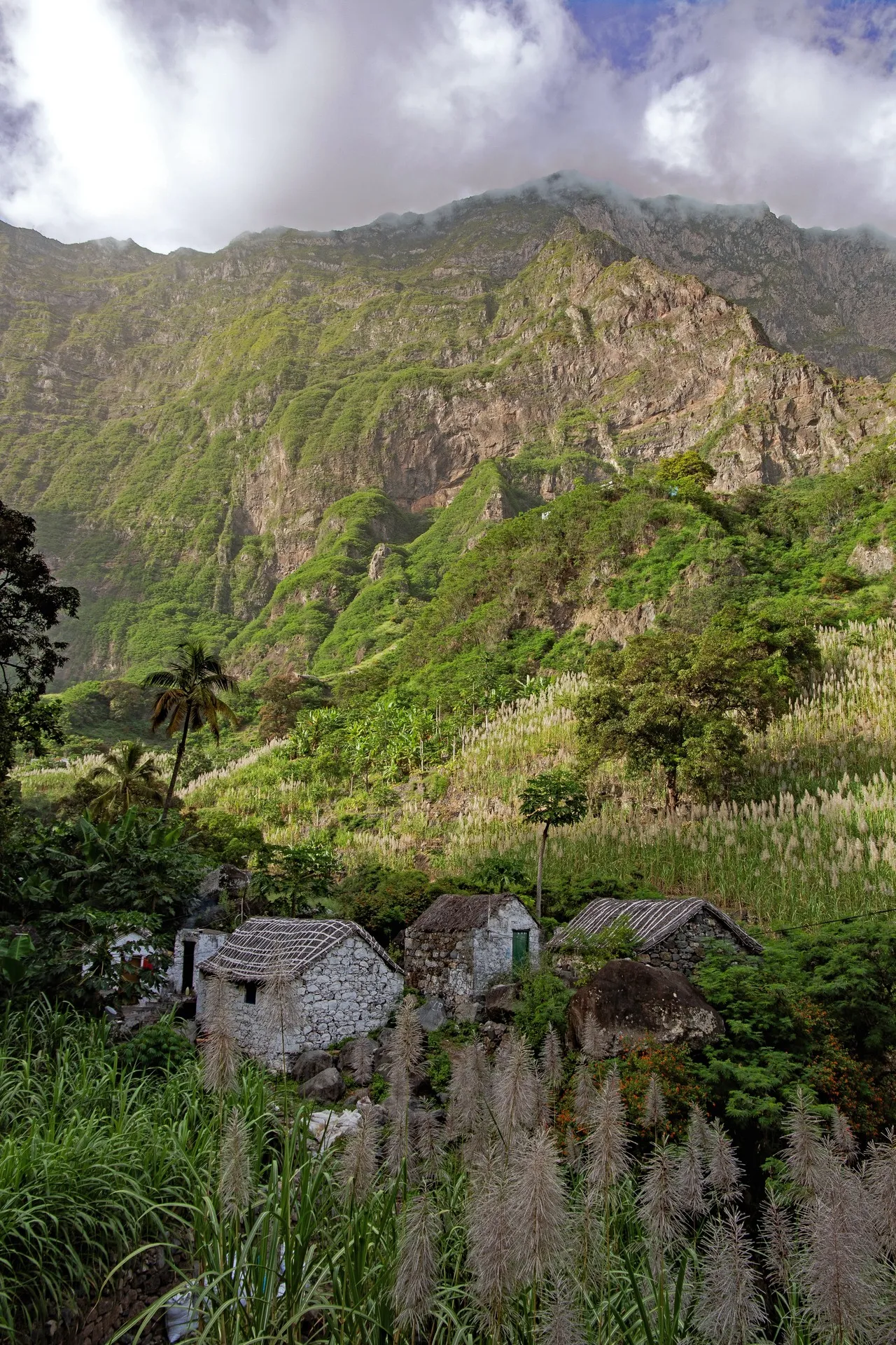
Eito is a small village on the island of Santo Antão in Cape Verde, set low in a narrow, steep river valley carved into the island’s volcanic ridges. Its compact cluster of traditional stone houses and small agricultural terraces sits against abrupt, jagged slopes, giving photos a strong sense of scale and texture where human settlement meets raw geology. Visually compelling elements include stacked green plots and banana or sugarcane rows that form a patchwork against dark rock, the compact symmetry of rooftops seen from higher vantage points, and the way morning and late-afternoon light sculpts the ridgelines and deepens valley shadows. The village is framed by winding country roads and footpaths that provide elevated viewpoints for panoramic shots; local movement and drying laundry can add human scale, while respectful behavior is expected when photographing residences and farms.
🗺 Map
Want to see more? Download the app. It's free!
- Weather informationCheck the forecast, clouds, rain, visibility, temperature, and wind before you go. Download it for free!
- How to get there?Choose how to get there by car, walking, or public transport from your location. Download it for free!
- CollectionsSave this spot in lists for future trips.
- Visited PlacesMark places you have visited and see them together on one map.
- Favourite RegionsGet alerts when new spots are added in your favourite regions.
- Offline mapsDownload maps before a trip for places with weak connection.
- Upload your photosUpload your photos and help other travelers find good photo spots.
- Audio guidesCreate narrated guides to listen to while you visit a place.