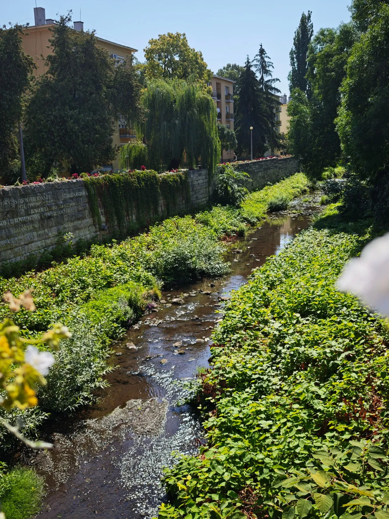
Eger-patak is the stream running through Eger from the nearby Bükk foothills, threading the natural landscape into the city’s historic fabric. In central Eger, its narrow, stone-lined channel passes beside streets, gardens and older buildings, while small bridges connect the neighborhoods on either bank. The most distinctive photographs use the water as a quiet foreground for façades, trees and bridge details; when the surface is calm, reflections soften the otherwise angular urban scene. Its modest scale also reveals a less monumental side of Eger, contrasting with the city’s castle, churches and Baroque architecture.
🗺 Map
Want to see more? Download the app. It's free!
- Weather informationCheck the forecast, clouds, rain, visibility, temperature, and wind before you go. Download it for free!
- How to get there?Choose how to get there by car, walking, or public transport from your location. Download it for free!
- CollectionsSave this spot in lists for future trips.
- Visited PlacesMark places you have visited and see them together on one map.
- Favourite RegionsGet alerts when new spots are added in your favourite regions.
- Offline mapsDownload maps before a trip for places with weak connection.
- Upload your photosUpload your photos and help other travelers find good photo spots.
- Audio guidesCreate narrated guides to listen to while you visit a place.