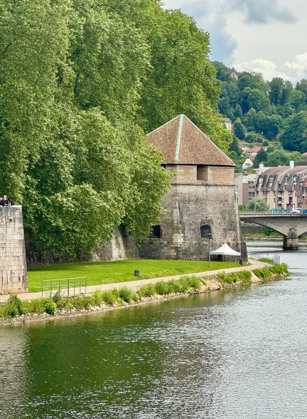
The Doubs in Besançon is the ribbon of river that wraps the city’s historic centre in a pronounced horseshoe meander, shaping the peninsula where the old town and its stone facades sit. Its course is integral to Besançon’s layout and defensive siting: steep banks and the citadel high above define a vertical relationship between water, town and fortress that is visible in every panorama. For photographers the scene offers strong compositional lines—the curving river, bridges like Pont Battant, rippling reflections of limestone buildings, and the textured rock faces beneath the citadel. Mornings often bring low light and river mist that isolates the loop; in autumn the tree-lined banks add warm color. Key viewpoints include the citadel ramparts and the riverside quays for contrasting elevated and intimate angles.
🗺 Map
Want to see more? Download the app. It's free!
- Weather informationCheck the forecast, clouds, rain, visibility, temperature, and wind before you go. Download it for free!
- How to get there?Choose how to get there by car, walking, or public transport from your location. Download it for free!
- CollectionsSave this spot in lists for future trips.
- Visited PlacesMark places you have visited and see them together on one map.
- Favourite RegionsGet alerts when new spots are added in your favourite regions.
- Offline mapsDownload maps before a trip for places with weak connection.
- Upload your photosUpload your photos and help other travelers find good photo spots.
- Audio guidesCreate narrated guides to listen to while you visit a place.