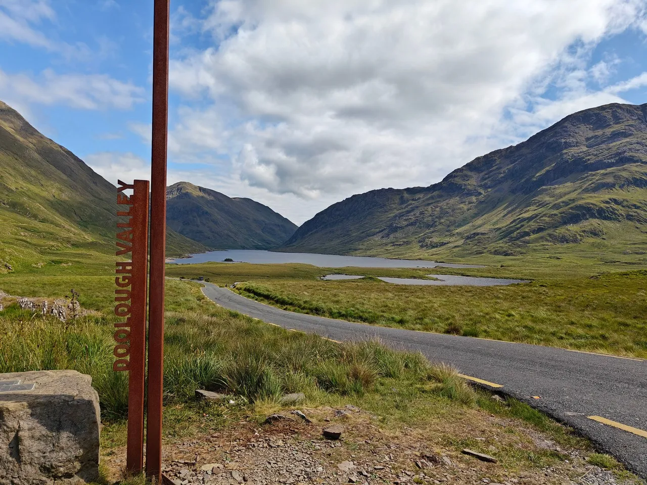
Doolough Valley, near Derryheigh in southwest County Mayo, is a glacially carved corridor where the R335 follows the dark waters of Doo Lough between the Mweelrea massif and the Sheeffry Hills. Its stark beauty carries difficult historical weight: during the Great Famine in 1849, starving residents were forced to walk from Louisburgh toward Delphi Lodge to seek relief, and many died along the route. A roadside memorial recalls the tragedy, which is also commemorated by the annual Doolough Famine Walk. Visually, the narrow road, treeless slopes and long lake create a powerful sense of scale; shifting Atlantic light can turn the water from reflective silver to near black, while low cloud often compresses the surrounding mountains into a solemn, layered landscape.
🗺 Map
Want to see more? Download the app. It's free!
- Weather informationCheck the forecast, clouds, rain, visibility, temperature, and wind before you go. Download it for free!
- How to get there?Choose how to get there by car, walking, or public transport from your location. Download it for free!
- CollectionsSave this spot in lists for future trips.
- Visited PlacesMark places you have visited and see them together on one map.
- Favourite RegionsGet alerts when new spots are added in your favourite regions.
- Offline mapsDownload maps before a trip for places with weak connection.
- Upload your photosUpload your photos and help other travelers find good photo spots.
- Audio guidesCreate narrated guides to listen to while you visit a place.