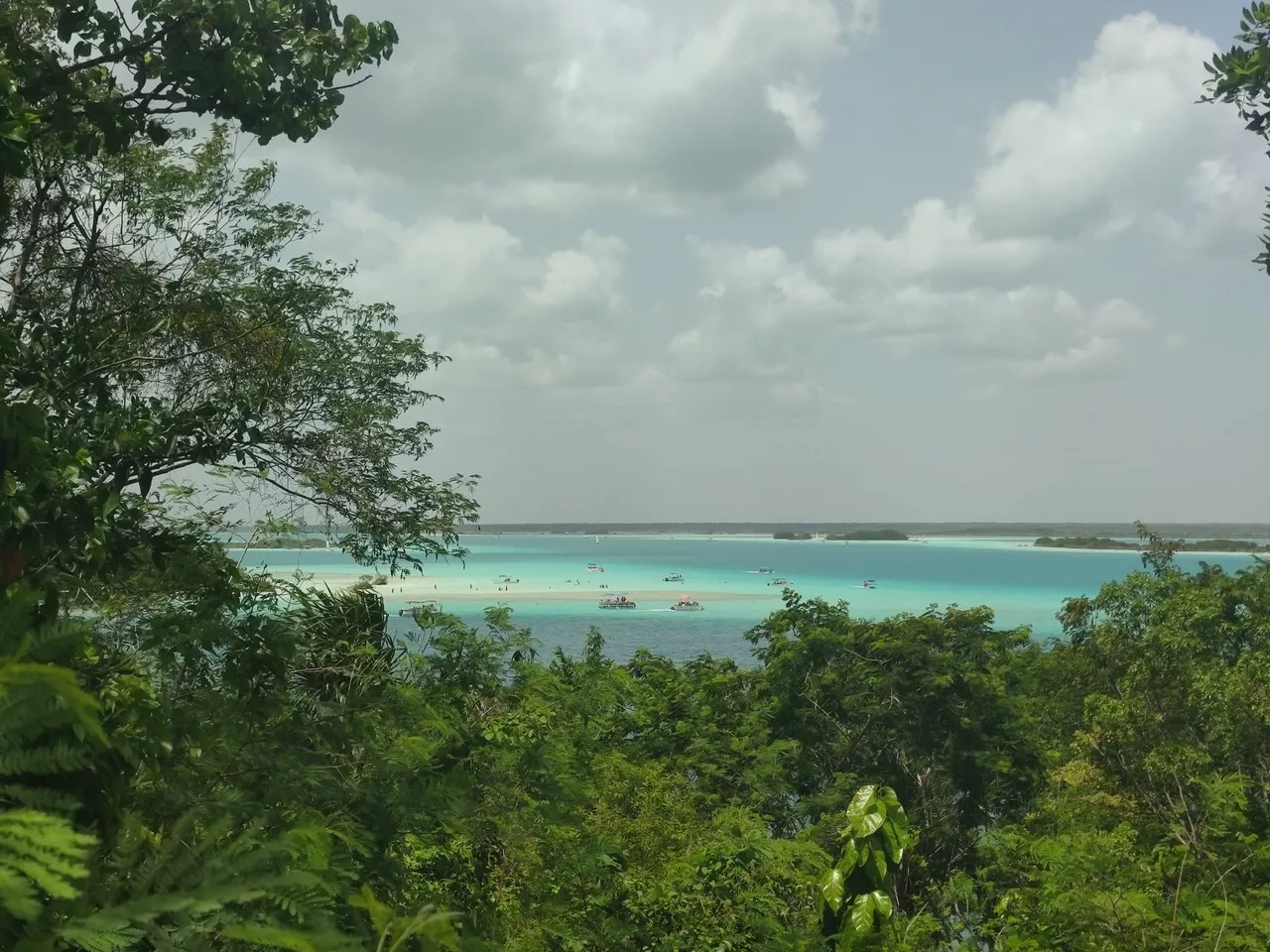
Cenote Cocalitos is a shallow, spring-fed sinkhole and waterside spot on the southern edge of Bacalar’s Laguna de Bacalar, prized for its crystalline turquoise layers, soft white sandbanks and clusters of small mangroves. It’s important as one of the easiest places around Bacalar to view living stromatolites — ancient, comet-shaped carbonate formations built by microbial mats — and to experience the lagoon’s famed “seven shades of blue” palette where groundwater springs meet surface water.
Historically cenotes across the Yucatán were sacred to the Maya as sources of fresh water; Cocalitos today sits within that long human connection to the lagoon though it is used now for recreation and conservation rather than ritual. The site features low wooden platforms and shallow docks rather than large buildings, keeping the shoreline low-impact; informational signs and roped-off areas protect fragile stromatolites and mangrove roots. Unique local traits: morning light accentuates the stratified blues and makes stromatolite colonies visible beneath the surface, and seasonal influxes of birdlife and small fish gather among the mangroves. Conservation rules and modest entrance management aim to preserve these delicate carbonate formations.
Historically cenotes across the Yucatán were sacred to the Maya as sources of fresh water; Cocalitos today sits within that long human connection to the lagoon though it is used now for recreation and conservation rather than ritual. The site features low wooden platforms and shallow docks rather than large buildings, keeping the shoreline low-impact; informational signs and roped-off areas protect fragile stromatolites and mangrove roots. Unique local traits: morning light accentuates the stratified blues and makes stromatolite colonies visible beneath the surface, and seasonal influxes of birdlife and small fish gather among the mangroves. Conservation rules and modest entrance management aim to preserve these delicate carbonate formations.
🗺 Map
Want to see more? Download the app. It's free!
- Weather informationCheck the forecast, clouds, rain, visibility, temperature, and wind before you go. Download it for free!
- How to get there?Choose how to get there by car, walking, or public transport from your location. Download it for free!
- CollectionsSave this spot in lists for future trips.
- Visited PlacesMark places you have visited and see them together on one map.
- Favourite RegionsGet alerts when new spots are added in your favourite regions.
- Offline mapsDownload maps before a trip for places with weak connection.
- Upload your photosUpload your photos and help other travelers find good photo spots.
- Audio guidesCreate narrated guides to listen to while you visit a place.