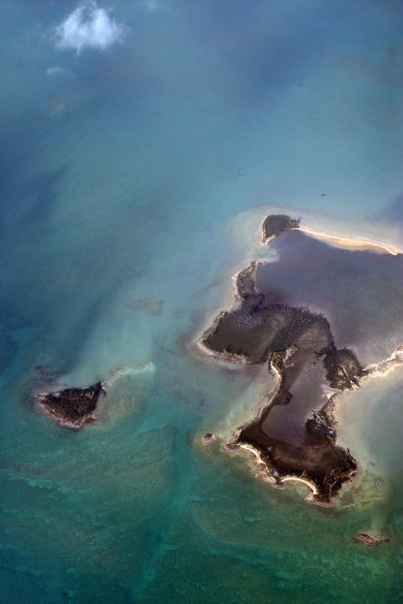
The cays of the Bahamas—“cay” is pronounced “key”—are the archipelago’s small, low-lying islands scattered across broad, shallow limestone banks. Many are edged by pale carbonate sand, mangroves, reefs, and tidal channels, creating the Bahamas’ characteristic transitions from white shorelines to luminous turquoise shallows and deep blue water. Seen from a boat or the air, their most distinctive feature is the graphic pattern of sandbars, narrow cuts, and curving banks revealed by changing tides. Some cays support long-established settlements, while others remain undeveloped, but together they reflect a landscape shaped as much by sea routes, fishing, and boating as by land.
🗺 Map
Want to see more? Download the app. It's free!
- Weather informationCheck the forecast, clouds, rain, visibility, temperature, and wind before you go. Download it for free!
- How to get there?Choose how to get there by car, walking, or public transport from your location. Download it for free!
- CollectionsSave this spot in lists for future trips.
- Visited PlacesMark places you have visited and see them together on one map.
- Favourite RegionsGet alerts when new spots are added in your favourite regions.
- Offline mapsDownload maps before a trip for places with weak connection.
- Upload your photosUpload your photos and help other travelers find good photo spots.
- Audio guidesCreate narrated guides to listen to while you visit a place.