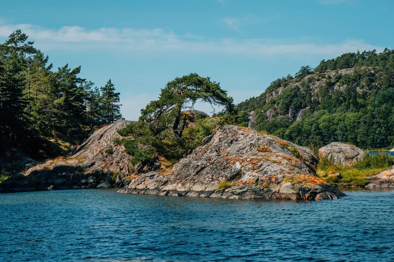
Bohusläns skärgård around Strömstad forms the northernmost stretch of Sweden’s west-coast archipelago, close to the Norwegian border. Its character comes from low, weather-smoothed granite islands, narrow sounds and scattered fishing settlements where red and white boathouses line sheltered coves. Centuries of seafaring and fishing remain visible in the compact harbors, jetties and working waterfronts. Offshore lie the Koster Islands and the waters of Kosterhavet National Park, known for unusually rich marine life. In photographs, the spare horizon, pink-grey rock, dark water and painted timber create strong blocks of color, while low coastal light brings out cracks, lichen and glacially rounded textures in the granite. Passenger ferries from Strömstad provide access to the Koster Islands.
🗺 Map
Want to see more? Download the app. It's free!
- Weather informationCheck the forecast, clouds, rain, visibility, temperature, and wind before you go. Download it for free!
- How to get there?Choose how to get there by car, walking, or public transport from your location. Download it for free!
- CollectionsSave this spot in lists for future trips.
- Visited PlacesMark places you have visited and see them together on one map.
- Favourite RegionsGet alerts when new spots are added in your favourite regions.
- Offline mapsDownload maps before a trip for places with weak connection.
- Upload your photosUpload your photos and help other travelers find good photo spots.
- Audio guidesCreate narrated guides to listen to while you visit a place.