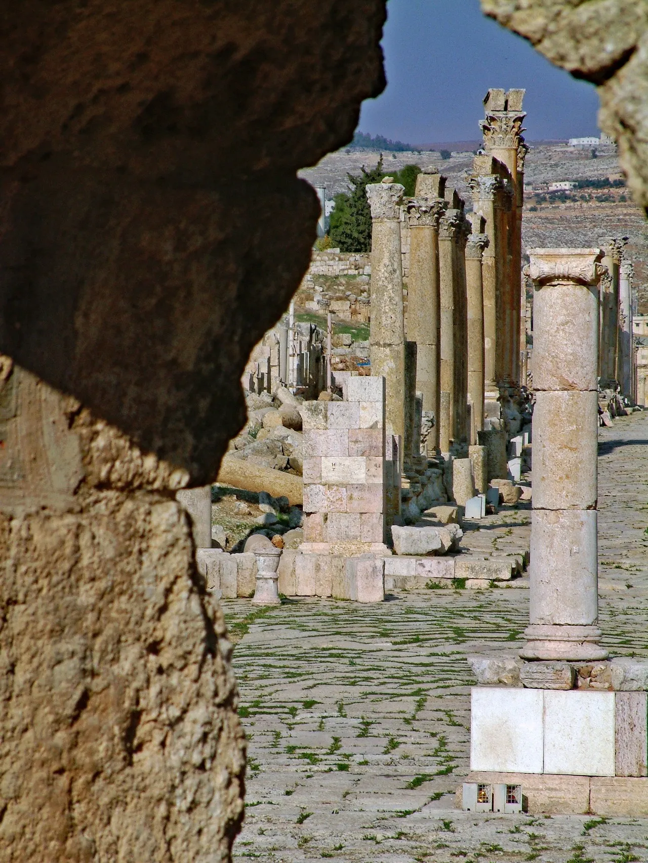
The Colonnaded Street, or Cardo Maximus, forms the main north–south axis of ancient Gerasa within Jerash’s archaeological site. Extending from the Oval Plaza toward the city’s northern monuments, it once organized movement through the Roman city, with temples, public buildings, and shops opening along its route. Long rows of surviving columns reveal the street’s monumental scale, while the original stone paving preserves visible wheel grooves from centuries of traffic. Its strong central perspective, repeated column shadows, and contrast between pale limestone and the surrounding hills make it one of Jerash’s most recognizable views.
🗺 Map
Want to see more? Download the app. It's free!
- Weather informationCheck the forecast, clouds, rain, visibility, temperature, and wind before you go. Download it for free!
- How to get there?Choose how to get there by car, walking, or public transport from your location. Download it for free!
- CollectionsSave this spot in lists for future trips.
- Visited PlacesMark places you have visited and see them together on one map.
- Favourite RegionsGet alerts when new spots are added in your favourite regions.
- Offline mapsDownload maps before a trip for places with weak connection.
- Upload your photosUpload your photos and help other travelers find good photo spots.
- Audio guidesCreate narrated guides to listen to while you visit a place.